Nothing like a couple of unknown towns to boost usage of Google maps!
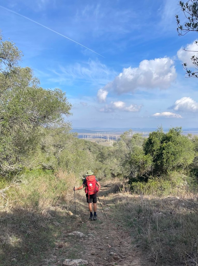
When the guide notes state “there is no intermediate opportunity for refreshment” you know it will be a tough day. It didn’t help that the only refreshment upon commencement was a cafe con leche. After said coffee, we climbed gradually, but not directly, about 300m up the hills to the west of the town. The road eventually petered out into a 4wd track (perhaps a planned road until the budget ran out) and eventually into the proverbial goat track – complete with goats. The cliffs near the top are one of the most important habitats of Griffon vultures on the Iberian peninsula, of which we saw many (vultures that is, not peninsulas).
The track down the other side offered glimpses of vast wind turbine sites – a warning that was lost on us at the time. The trail here was not well marked, and a period of inattention to Google maps had us back-tracking for 10 minutes.
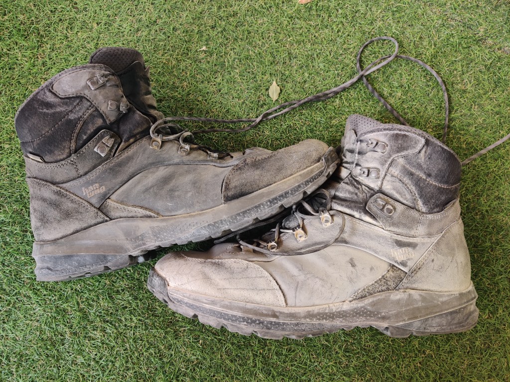
The last stretch (strain?) of the day was manoeuvring amongst the turbines. It was blowing about 30 to 35 knots, and being directly on the beam, it made maintaining a straight course difficult. It’s hard to put a 2nd reef in a backpack, therefore we were staggering along like drunken sailors (just to continue with the nautical theme).
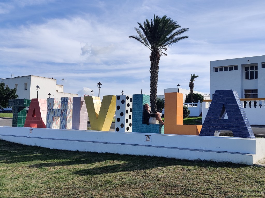
Tahivilla is an interesting town. Originally it was one huge landholding which was distributed amongst the farmers by the Republicans before the Spanish civil war. Today it maintains its cooperative roots, and appears to be a thriving, prosperous community. Everything is clean, well maintained – almost like the Mexican model of sprucing up a town before the President’s visit (and not just Mexico, except we’ve witnessed it there first hand!) Tomorrow, more of the same (wind, and ‘no opportunity for intermediate refreshment’. The Camino calorie deficit might become a new dieting trend.)