Saint Gervais to Lunas, 28.6 km
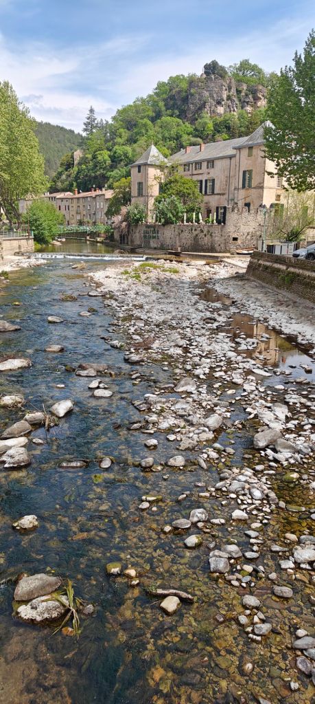
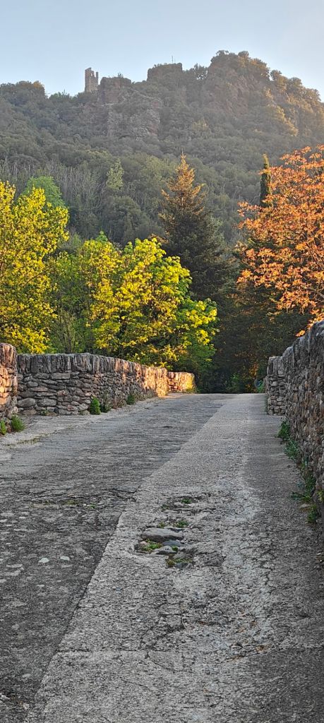
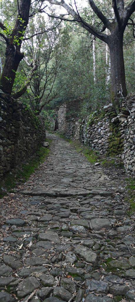
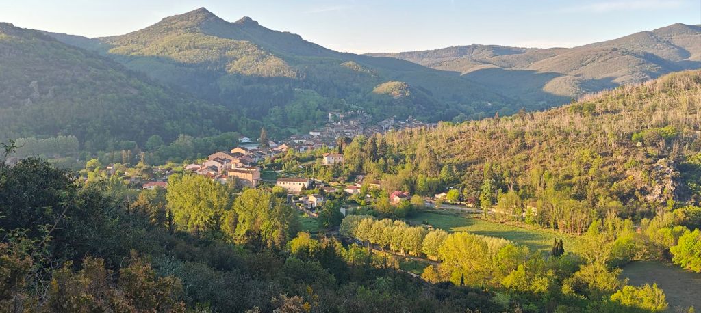
One of the toughest days on this camino, no matter which way you are headed. Along the way somewhere you gain 700m in altitude, only to lose it by the time you reach your destination. I timed my departure to allow a visit to the boulangerie at its opening time of 0700 to secure breakfast, morning tea and lunch (it was only a 1 km round trip – a trifle in the context of the day ahead). In my direction of travel the first 10 km made up the bulk of the ascent, so I savoured my pain aux raisins before the day got too hot. The rest of the day was forest, scrubby forest, and a lot of very harsh landscape, with the paths a mix of historic (presumably) goat tracks, forest service roads and fire access roads. If it hadn’t been hazy there might have been views of the med, but it was so there weren’t!
Curiously there were more people heading in the same direction as me today than going toward Compostela. I passed a French couple yesterday who stayed in the same gîte last night, and today there was another guy. I’m confounded as to where they’ve emerged from – there are so few towns and gîtes that it’s hard to avoid people on a similar itinerary.
Tomorrow there is an alternative path which is 9 km shorter. My lovely hosts are trying to convince me to take the traditional/historic route, but after 700+km of walking already, I’m more inclined to take the shorter version.

The cobble stones looked like a rough walk. Hopefully they weren’t slippery. Have fun.
LikeLike