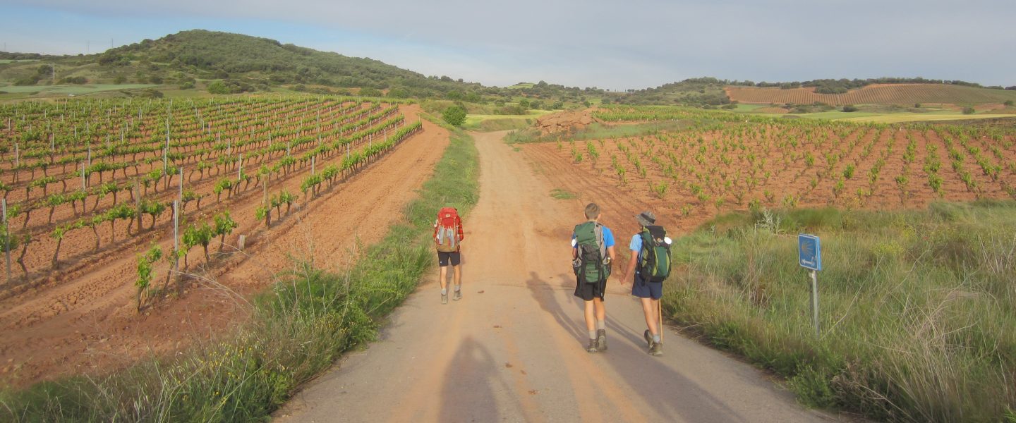
Saint Gilles to Arles. 18.6 km
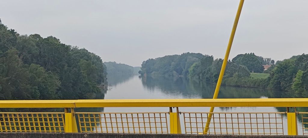
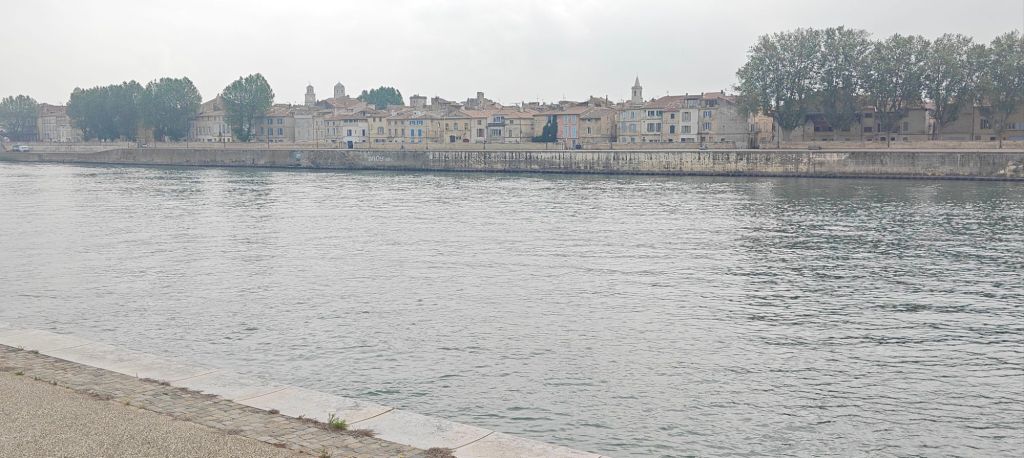
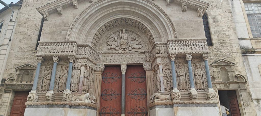
I feel sorry for those setting out on their Camino from Arles: they must wonder what they’ve signed up for. The path across the Rhone river delta is uninspiring and monotonous, with my last 5 km (other pilgrims first 5 km) along a challenging section of road. Over the past two days I canvassed opinions: whether to take the direct route (more road) or the canal route. It’s actually a branch of the Rhone, known as the Petit Rhone, but it’s on top of a stop bank, so it may as well be a canal. I think the smart money would be to take a bus to Saint Gilles and start from there. The town is fully committed to the camino, with the shell emblem adorning everything from giant planters to park benches.
It was a very grey day, so photos look suitably drab.
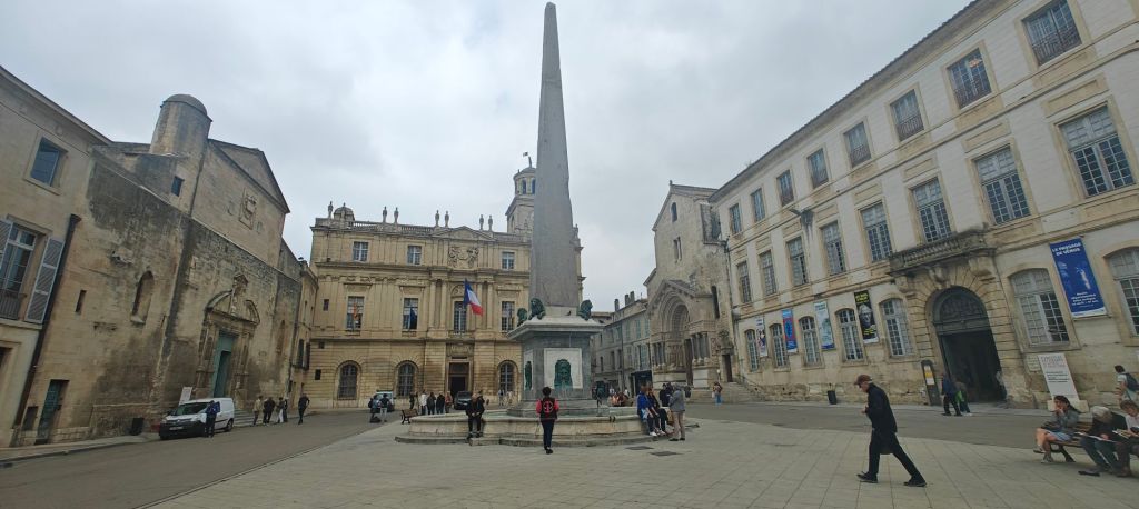
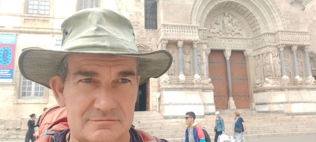
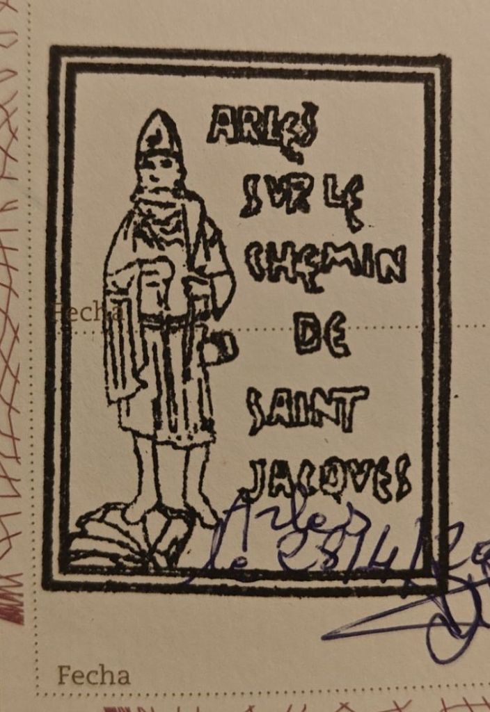
So ends my via Tolosana. It travels through some amazing countryside, quaint villages, and is quite challenging at times. Too bad about the last day!
Here are some numbers assuming my app isn’t providing fake stats. Total kms over the 35 days: 901.2; Daily average: 25.7km; Metres of altitude gained 5,086 (16, 685 ft). As Arles is lower than Pamplona, I guess I descended slightly more than that. Time in motion was 173 hours, and the app says I burned over 56,000 calories – although I’ve no idea how that is calculated!
Tomorrow I start the via Aurelia, the link between Santiago de Compostela, Arles and Rome – although it undergoes a few name changes along the way from Arles. It’s the via Aurelia until the Italian border, where it switches to the via della costa – even though it continues to follow, in spirit, the original Roman via Aurelia road. At Sarzana in Italy, it joins with the via francigena , which I walked in 2019. I’m aiming to make it as far as St Raphael or maybe even Cannes before I backtrack (by train!) to meet Susan in Marseilles on May 9. Stay tuned!

Well done Andrew, an impressive (feet) feat!
LikeLike
Thanks! Most days were quite enjoyable, and like most things, even more enjoyable in retrospect!
LikeLike
Yes, working on your selfie technique would a good idea. What’s next? Are you walking to Marseilles? Not that you haven’t walked far enough already. Have fun
LikeLike